Köýtendag Mountains — The Roof of Turkmenistan
About This Destination
The Köýtendag Mountains (also known as Kugitangtau) form one of the most spectacular natural regions of Turkmenistan, located in the far eastern Lebap Region, along the border with Uzbekistan. The name Köýtendag means “mountains of deep canyons”, perfectly describing this dramatic landscape carved by steep ravines and cliffs where the sky appears as a narrow ribbon overhead.
History
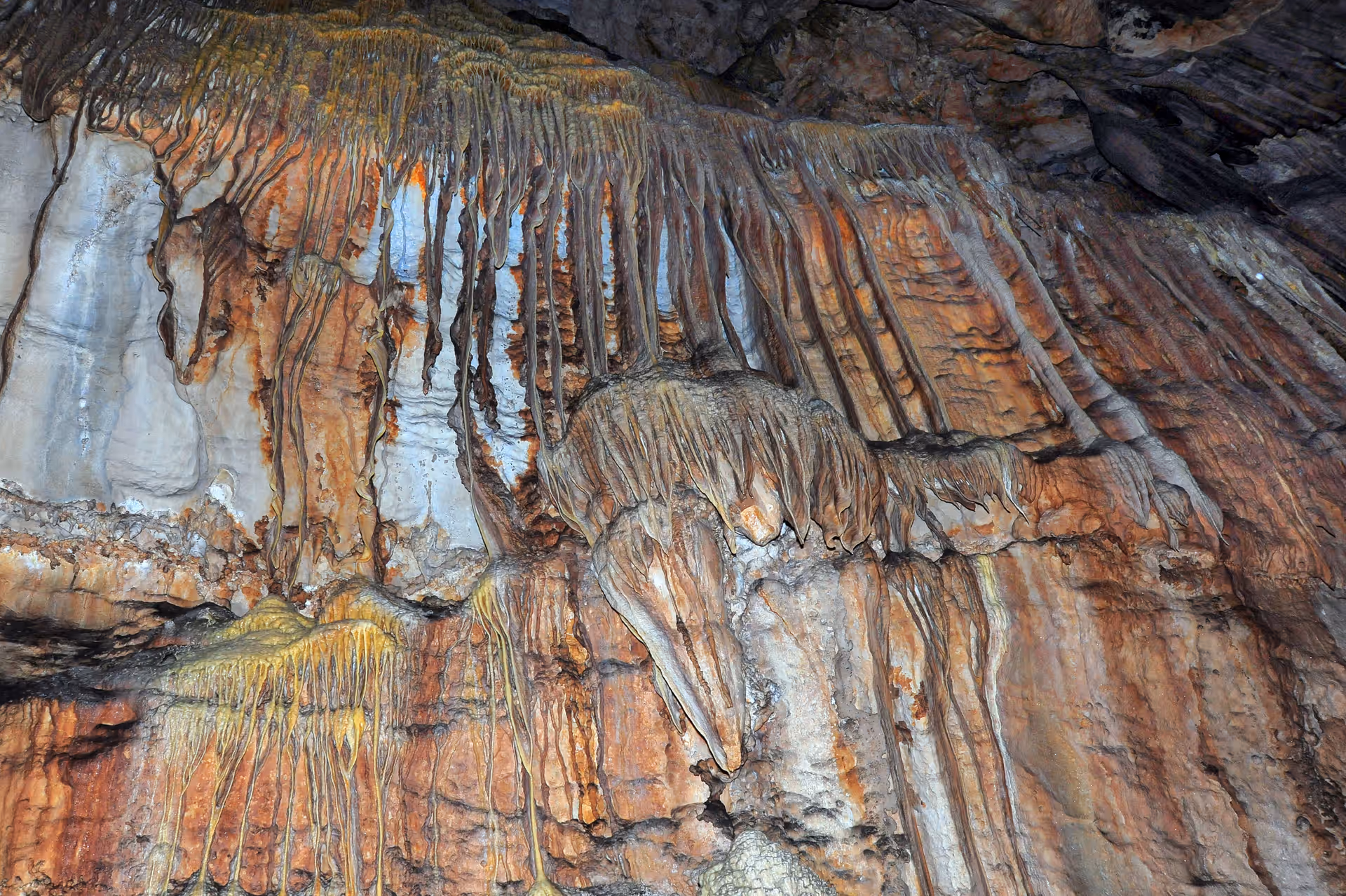
Here rise the country’s highest peaks, including Mount Ayrybaba (3,139 m) — the highest point in Turkmenistan. Within these mountains lie some of the nation’s greatest natural treasures: the Dinosaur Plateau with fossilized dinosaur footprints, Kattakol Lake — the deepest lake in Turkmenistan, and a vast network of caves and underground lakes that form the Karlyuk Cave System, one of Central Asia’s largest and most mysterious. The foothills shimmer in red hues due to exposed variegated rocks, while higher slopes are covered with juniper groves, wildflowers, and fruit trees. In hidden caves near the village of Karlyuk lives the rare blind loach (Troglocobitis) — a cave-dwelling fish that has evolved to survive in total darkness. With its deep gorges, diverse flora and fauna, and breathtaking geological formations, Köýtendag is a natural monument of global importance, a place where science, myth, and beauty meet under Turkmenistan’s endless sky.
Tours Available
Quick Info
Plan Your Visit
Need Help?
Our travel experts are here to help you plan the perfect trip